| |
|
|
|
|
|
|
 |
GORE™ Surveys For Oil And Gas Exploration
|
| Amplified Geochemical Imaging™ |
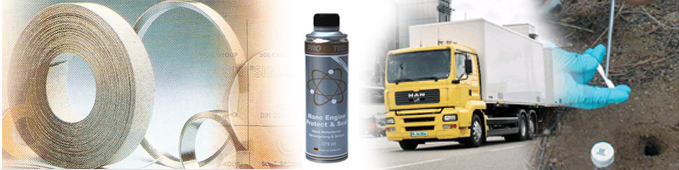
Amplified Geochemical Imaging™ is an advanced geoscience tool developed by W.L.Gore & Associates, Inc, - the inventors of GORE-TEX fabrics. The tool is used to measure and map compounds in diverse applications such as environmental site assessment, pipeline integrity management, petroleum exploration and field development and mineral exploration. Gore’s unique and highly sensitive passive
diffusion module can detect these compounds in soil gas, air and water, at levels in
sub part per billion range. |
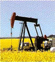
| PETROLEUM EXPLORATION |
ENVIRONMENTAL SITE ASSESSMENT |
MINERALS EXPLORATION |
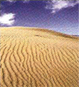
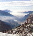
| GORE™ Surveys for Exploration has been used effectively in over 130 basins in more than 56 countries inall terrains including desert, jungle, plains, tundra, and offshore. |
|
GORE™ Surveys for Environmental is used for accurate site assessment, vapour intrusion investigations, ground and surface water sampling and long-term site monitoring. |
|
The Gore™ Surveys for Minerals is used to explore for buried mineral deposits of gold, silver, copper, lead and zinc, it also has application in identification of productive diamond kimberlite pipes. |
|
| EXPLORATION/ PROSPECT EVALUATION |
| |
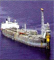
OFF SHORE |
|
|
The same analytical and statistical techniques to characterize microseepage onshore are also used offshore. The unique design of the GORE™ Module allows it to be placed in swamps and shallow bays as well as deeper offshore exploration, including ultra-deep waters. |
|
As part of a conventional macroseep basin evaluation, the GORE™ Survey has the following advantages over conventional headspace and sediment extraction techniques:
- Offers data in the critical gasoline range of C2 C20
- Identifies oxidized or bio-altered compounds from the petroleum system
- Avoids wasted costs of cores which miss targeted seabed seepage features: has the sensitivity to detect thermogenic influence from such “near misses”
- Utilizes advanced mathematical and computer techniques to characterize and classify petroleum signatures
Gore also offers the most comprehensive and easy to use device for sampling offshore natural oil slicks & gas seeps or onshore seeps. |
| |
|
|
|
 |
|
 |
Used in exploration applications, GORE™ Surveys help focus geophysical efforts, prioritize leads, or investigate charge in structural and stratigraphic traps. Defining charged channel sands, difficult to find by seismic alone, is an easy task for Amplified Geochemical Imaging™. |
FRONTIER |
 |
The use of Amplified Geochemical Imaging in frontier applications allows timely evaluation of very large blocks (thousands of km2). It is used to validate the petroleum system, make decisions on areas of the block to keep or drop, evaluate leads, and to focus a seismic program to areas of identified charge. |
| FIELD DEVELOPMENT |
 |
GORE™ Surveys defines areal extent of producing fields and locates field extensions and potential areas for secondary recovery. In older fields, GORE™ Surveys help increase production and build reserves by finding by-passed pay and improving the effective design of water and CO 2 flooding. |
|
|
 |
| |
|
|
|
|
| |
Copyright © 2008 NOOR MARKETING, All Rights Reserved |
Powered by Mangium Infotech |
|
|
|